23 November, 2025
0 Comments
1 category
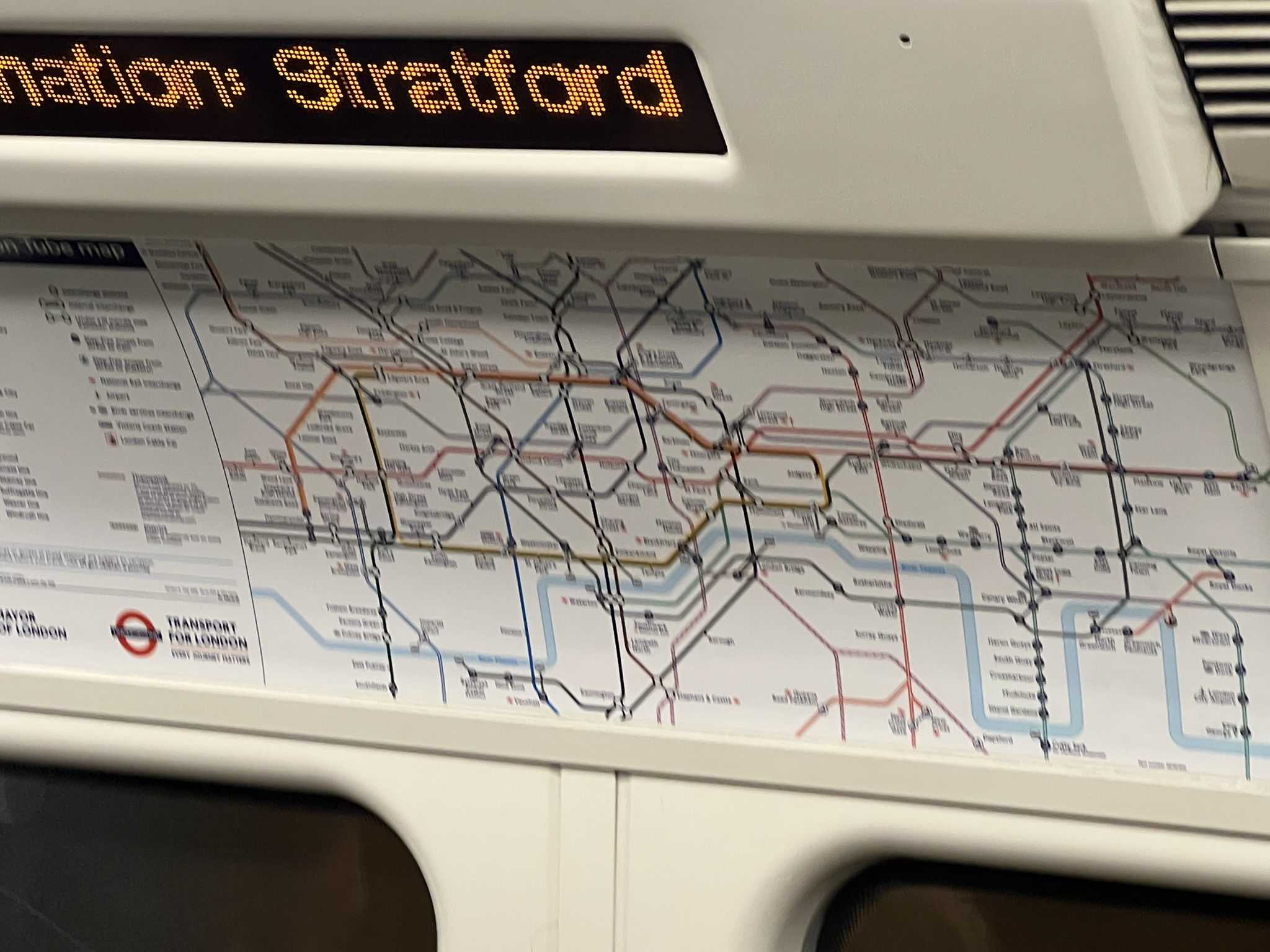
The Tube’s geography is far more complex than it appears on the map. Underneath London lies a layered system of deep tunnels, high viaducts, and dramatic elevation changes, some surprising, some terrifying, and all fascinating.
Elevation Extremes:
- The highest point on the Underground is at Amersham (Metropolitan line), approximately 152 m (500 ft) above sea level.
- The highest point above ground on the network, however, is on the Dollis Brook Viaduct (Northern line), where tracks sit around 18 m (60 ft) above the road below.
The Deepest Places:
- The lowest part of the Underground is just south of Waterloo on the Northern line, where the tunnels dip approximately 21 m (70 ft) below sea level.
- Even more astonishing, beneath Hampstead Heath, tracks run about 67 m (220 ft) below the surface.
- Hampstead station itself has platforms 58.5 m (192 ft) down, accessed by some of the deepest lifts in the network, descending 55 m (181 ft).
Tunnel Lengths & Layouts:
- One of the longest continuous tunnels on the Underground is on the Northern line, stretching from East Finchley to Morden, almost 27.8 km (17.25 miles).
- Despite its reputation for being an underground-only system, more than half of the Underground’s track is actually above ground.
Structural Complexity:
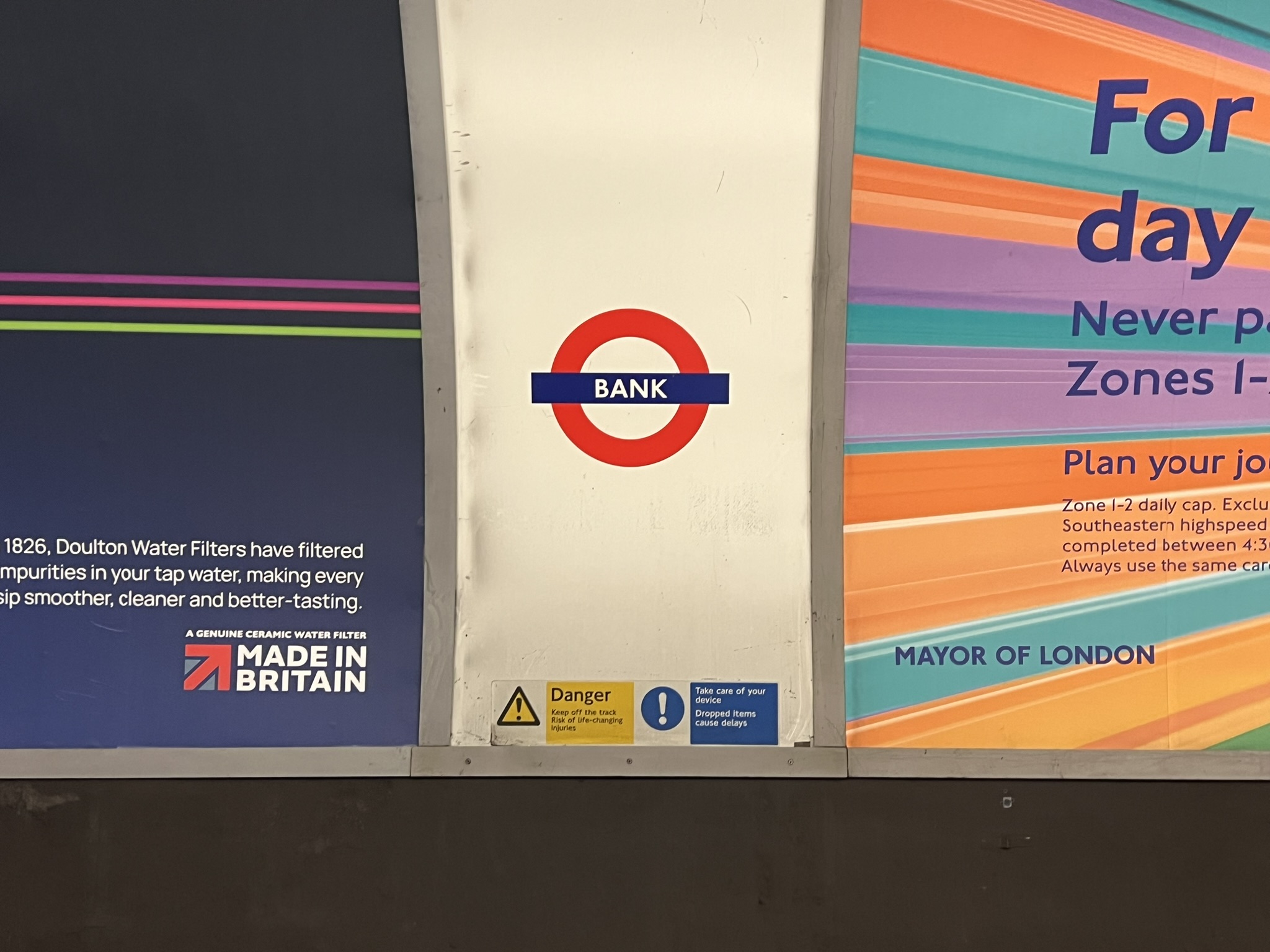
- Some stations, like Bank, Tottenham Court Road and Gants Hill, are completely subterranean with no surface buildings.
- Tunnels were constructed using early tunnelling shields in deep sections, a method that protected workers excavating under the city in the early 20th century.
- Ventilation shafts, abandoned tunnels, and repurposed areas (like old lift shafts) all contribute to the Underground’s multi-layered geography.
The London Underground is not just a flat network on a map, it’s a three-dimensional marvel. With dizzying depths, lofty viaducts, and some of the longest tunnels in the system’s history, its geography is a testament to London’s complexity and engineering ambition.
Category: Facts
Related Posts
Ghost Stations and Abandoned Platforms
The London Underground isn’t just a network of busy, crowded…
Historical Milestones & Key Dates
The journey of the London Underground is filled with pivotal…
Hauntings, Ghosts, and Urban Legends
The London Underground is not only a marvel of engineering…